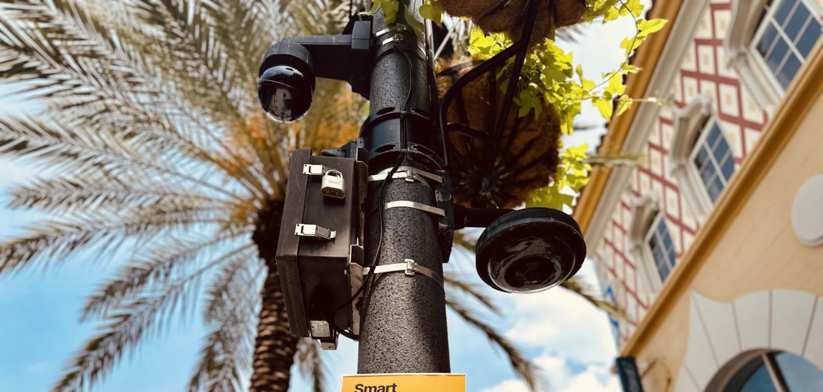
The Center for Smart Streetscapes wants to transform West Palm Beach, FL, in the US into a connected smart city with a team of sensors and cameras to understand the patterns of drivers, pedestrians and animals.
As part of a program implemented in West Palm Beach, FL in 2019, sensors are currently being used to collect Wi-Fi signals with the aim of improving the city’s mobility, traffic efficiency and public safety by tracking the movements of people and traffic in the downtown area, without the use of personal information.
The Mobility Intelligence Project (MIP) uses 54 advanced sensors along with machine learning technology to measure the strength of wireless mobile device signals, determining the position of people and objects without capturing their personal data. Access to the cameras’ data is publicly available through the local police department, allowing them to track a suspect’s movement, for example.
Second phase of the smart city data recording
The next phase of the development plan includes the installation of artificial intelligence (AI). But with other cities such as Boston and San Francisco banning the use of facial recognition software due to concerns over its accuracy and bias in the algorithm leading to false arrests, community approval is crucial to the project.
“I do not love the idea of having video recorded of me in a public space. [It] makes me feel nervous, and I think many residents and visitors [would] feel the same way,” said Jason Hallstrom, deputy director and chief research officer of the Engineering Research Center for Smart Streetscapes (CS3), the centre behind the ten-year, $52 million project funded by the National Science Foundation.

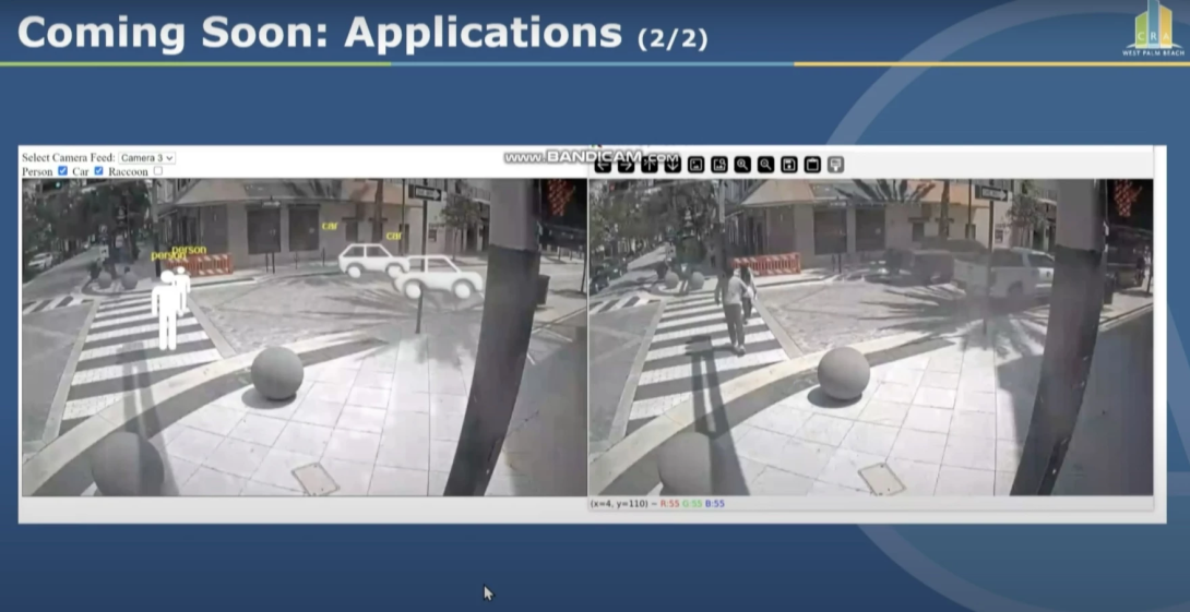
A digital representation (left) of a real photo (right), showing the technology's capability to find large-scale travel trends without using any personal information. Image: Jason Hallstrom
Making camera tracking technology work for both sides
“It’s ultimately helpful for residents to understand traffic patterns,” said Hallstrom, of the benefits of AI-powered sensor technology. “It’s helpful to understand illegal dumping. It’s helpful to understand the neighbourhoods where the patterns of raccoon activity lie.” Because of this, the new cameras will not store identifying information about people.
The technology will de-identify individuals, producing digital representations that mirror what’s happening on the street. These “digital cousins”, as Hallstrom describes them, are “2D and 3D avatars – generic cars and people that can represent what’s happening at an intersection – that provide meaningful analytic data that’s useful to the city and residents.”
Implications for the data
In a statement regarding the project, West Palm Beach Mayor Keith A. James said it will “position the city as a national leader in smart cities,” introducing “safer crosswalks and improving transportation and parking.” But Hallstrom is careful to assure local residents that community input is crucial to the plan: “We have a prototype of this that we plan to share with the community to get feedback before this would ever be rolled out at scale.”


