Skip to main content
Social media links IMVE
LinkedIn
Twitter
Log in
Register
Applications
3D
AI/ Deep learning
Embedded
Hyperspectral
Robotics
Thermal & Infrared
Components
Cabling
Cameras
Illumination
Image processing
Optics
Sensors
Software
Industries
Agriculture & Food
Life Sciences
Logistics
Manufacturing
Security & Defence
Sports & Entertainment
Traffic & Transport
Visionaries
Resources
Buyers' Guide / Suppliers
Events
Products
Webcasts
White papers
Search
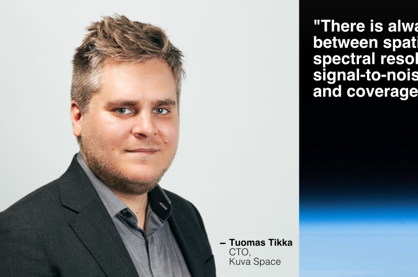
Beyond high-resolution: not all hyperspectral is created equal
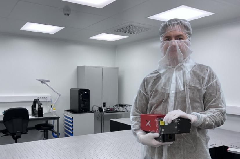
Hyperspectral camera developed by HySpex and ESA to detect methane from space
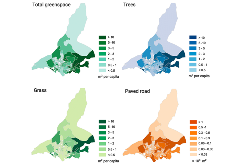
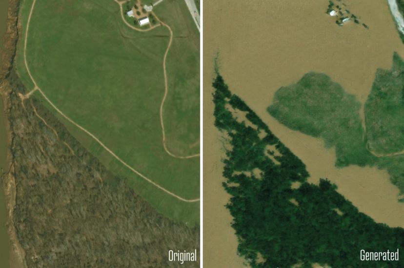
AI and satellite imagery used to map urban green space in Karachi
Nasa and ESA utilise computer vision and high-grade orbital optics to gather data on Earth and beyond
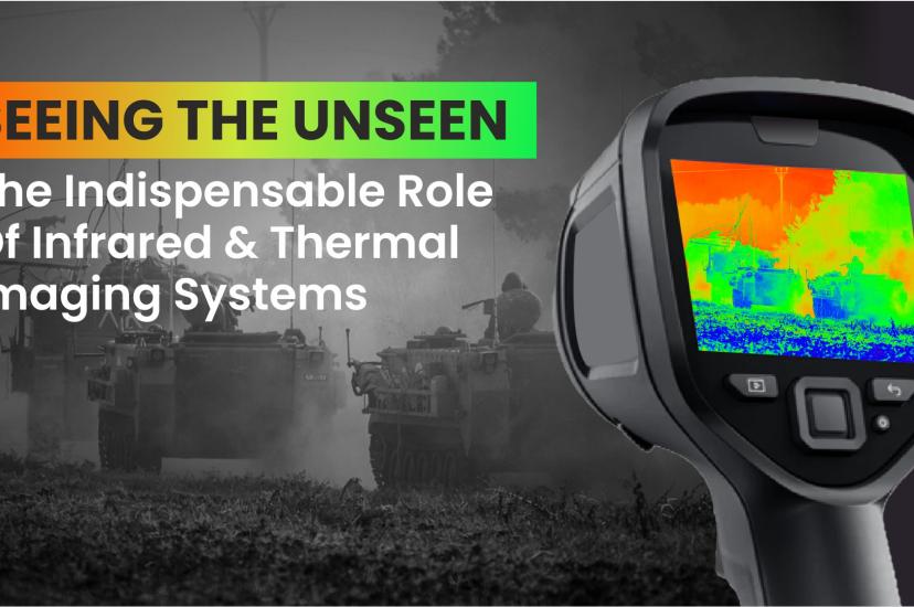
Seeing the unseen: the indispensable role of infrared and thermal imaging systems
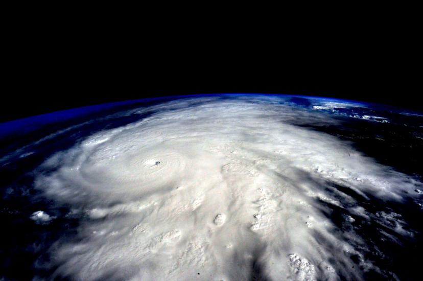
AI combines with physics to provide accurate imagery of future natural disasters
Imaging in the extreme: optics that overcome the challenges of harsh environments
Tidal breaks from Alphabet to advance AI-powered sustainable aquaculture
Imaging technologies that help develop and manufacture the next generation of sustainable vehicles
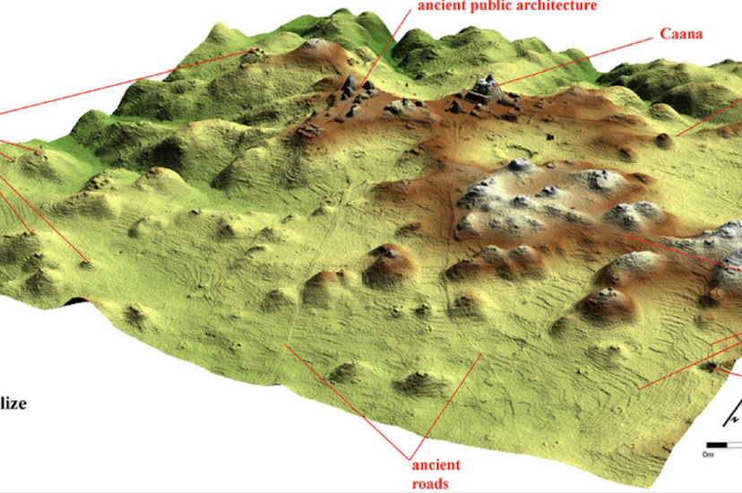
Student finds lost Maya city by accident, using lidar
Pagination
Page 1
Next page
››
Media Partners