Orlando-based startup Nuview has emerged from stealth to build what it says is the world’s first commercial lidar satellite constellation, which will be used to map the entirety of Earth’s land surface in 3D.
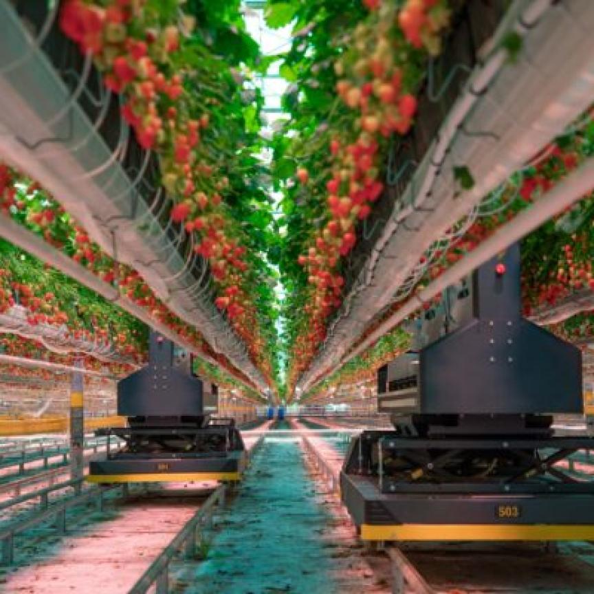
The high-quality, accurate mapping data will serve the environmental science, infrastructure, agriculture and forestry industries, helping solve critical challenges in combating climate change, disaster response, sustainable farming, conservation and forestry.
The majority of current satellite imagery provides a 2D view of the planet, with only an estimated 5% of the Earth’s landmass having ever been mapped with lidar.
Nuview, which already has $1.2 billion in early adopter agreements, plans to change this via its new constellation. The firm sees great potential in the addressable geospatial market, which it expects to grow to a $1.7 trillion industry.
"Nuview is thrilled to be leading a new era in geospatial technology to provide the first, most complete, high-resolution 3D point cloud of the Earth's surface," said Clint Graumann, CEO & co-founder of Nuview. "Our lidar satellite constellation will offer a wealth of information that has never before been available at scale, driving innovation and progress throughout numerous industries and revolutionising the way we understand and interact with our planet.”
The constellation will collect data more than 100 times faster than current commercial aerial solutions in an “always on” approach, according to Nuview. The high-resolution 3D point cloud data could enable farmers to optimise crop yields and water usage, while city planners could use it to create more efficient and sustainable urban environments. In addition, the ability to quickly gather precise data about disaster-affected areas could help emergency responders and aid organisations to better coordinate their efforts.
The Nuview team is also looking to collaborate with partners such as other satellite operators and analytics companies across various industries to explore new applications and possibilities.