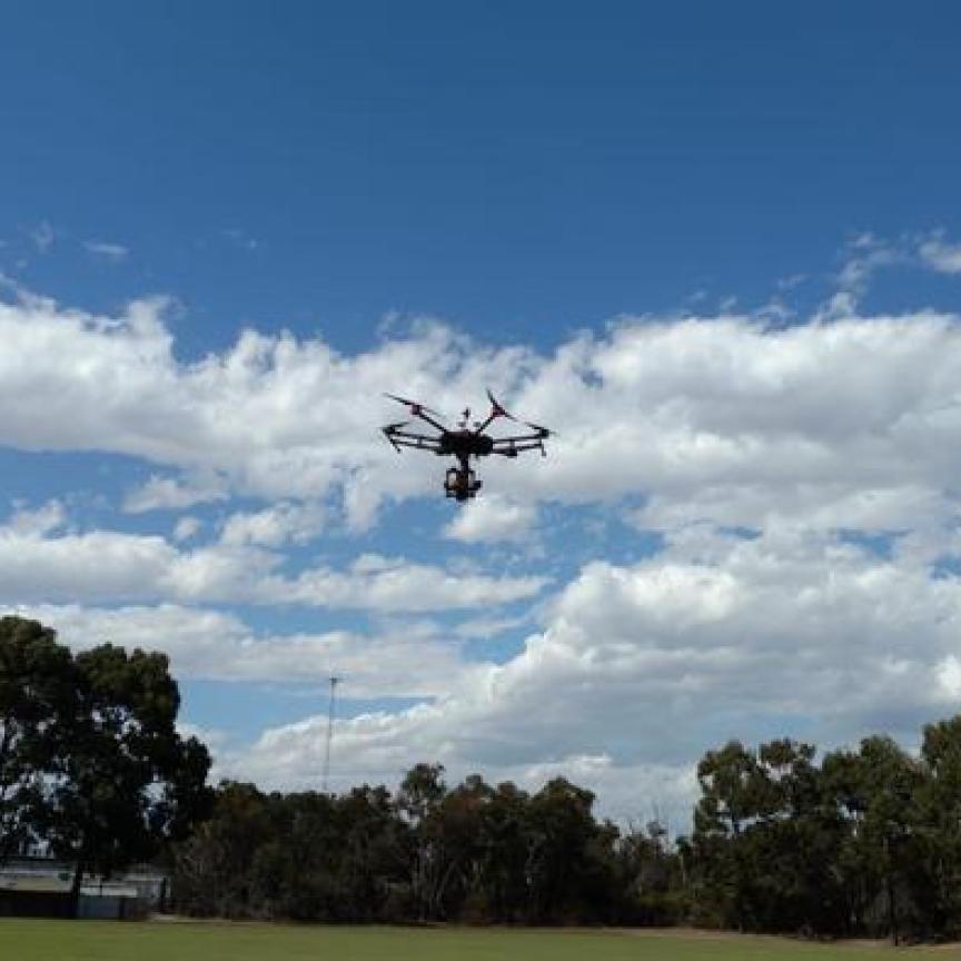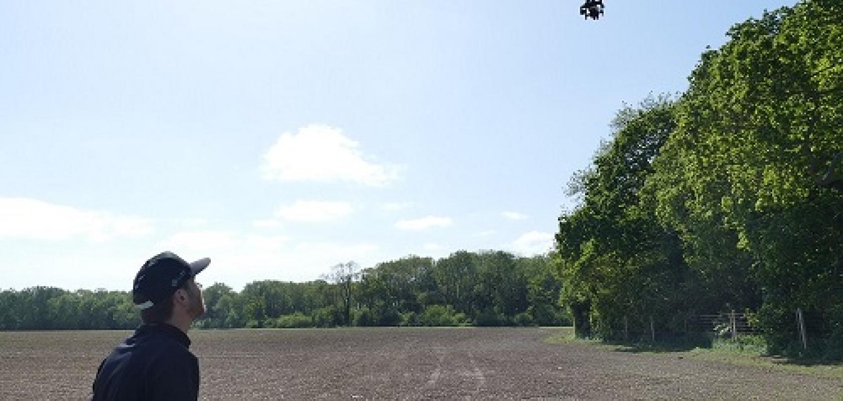
Four years ago, researchers from Fera Science and the Science and Technology Facilities Council’s RAL Space flew a drone equipped with hyperspectral cameras over Big Wood in Suffolk. Now, the two groups, along with Newcastle University’s School of Natural and Environmental Sciences, have received funding to fly the same wood again to see how things have changed.
The aim of the work is ultimately to model woodland carbon storage by identifying where trees are healthy and taking up carbon, and where they are unhealthy and could potentially die back and stop retaining carbon, because of pests, disease or climate change.
Part of this involves determining vegetation indices based on spectral signatures from plants. Dr Michelle Hamilton, a researcher at STFC RAL Space responsible for building the hyperspectral camera system for the project, explained that these indices can be used to differentiate between species of tree, as well as say something about the health of a tree – whether it’s stressed or diseased, for instance.
She said there are indices that are regularly used and that can be calculated by imaging in certain wavelength bands, but that the team is using a hyperspectral camera to investigate other indices.
‘Maybe you wouldn’t want to fly a hyperspectral system all the time, but you could use that to work out which wavelengths... are important for identifying disease or stress or different species,’ she told Imaging and Machine Vision Europe. ‘Then make a simpler system that could be more easily deployed.’
The hyperspectral system Hamilton and her team has developed uses two Ximea cameras covering 41 spectral bands in total: a visible camera with 16 bands, and one that images over 25 wavelength bands out to 910nm. These are snapshot cameras, taking images over an area, rather than the more traditional push-broom scanners. Snapshot imagers have fewer wavelength bands, but are less expensive, easier to calibrate, and don’t need a controlled flight path.
Hamilton stressed the importance of calibration to get accurate results from the cameras. Measurements are made with calibration targets along with a downwelling light sensor, with which the team can correct for changes in light levels – if the sun goes behind a cloud, for instance.
It means images can be compared, from those taken minutes apart to images taken years ago. ‘The calibration process is hugely important to get reliable data,’ she said.
Measurements are currently taken with a spectrometer on the ground, but part of the project is to attach a downwelling sensor to the drone.
Hamilton said she’d like to image further into the infrared because there are a lot more chemical signatures in the shortwave infrared, but that cameras are more expensive.
‘We want to see changes over time,’ she explained. ‘We flew these woodlands four years ago, so we can produce the 3D plots and a map of that woodland then. The idea is to come back and see what’s changed, in the ground coverage or the health of the trees. That feeds back into the [UK’s] net zero models.
‘Carbon sinks and carbon sequestration models are really important at present, [as is] making sure these [models] have accurate data,’ she added. ‘We know we’ve got these trees over the UK and there’s been an estimate of what they do. But if those trees and the woodlands are not well or not growing, then it does have an effect on carbon sequestration.’
Modelling how much carbon is stored in woodland isn’t an easy task, Hamilton said. She also noted that picking up on the early signs that a tree is sick is really important to get a good picture of the health of a woodland.