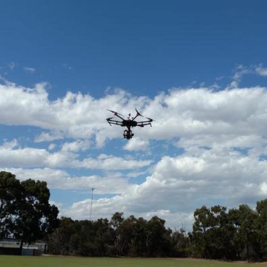
USGS maps Puerto Rico landscape with aerial hyperspectral imaging

The airborne hyperspectral imaging project will help to improve resilience to environmental events and natural disasters.
The hyperspectral imaging technology used by USGS was originally developed by NASA. The two organisations have since collaborated on collecting and analysing hyperspectral data.
Register for FREE to keep reading
Join 10,000+ vision professionals driving innovation in automation, AI and imaging with:
- Expert insights on vision, robotics, AI & embedded tech
- Newsletters and features covering the full imaging landscape
- Visionaries series: leadership strategies in imaging
- Free panels on smart manufacturing & autonomy
- White Papers & updates for smarter integration
Sign up now
Already a member? Log in here
Your data is protected under our privacy policy.