Autonomous underwater drone uses high-res imaging to survey coral reef degradation
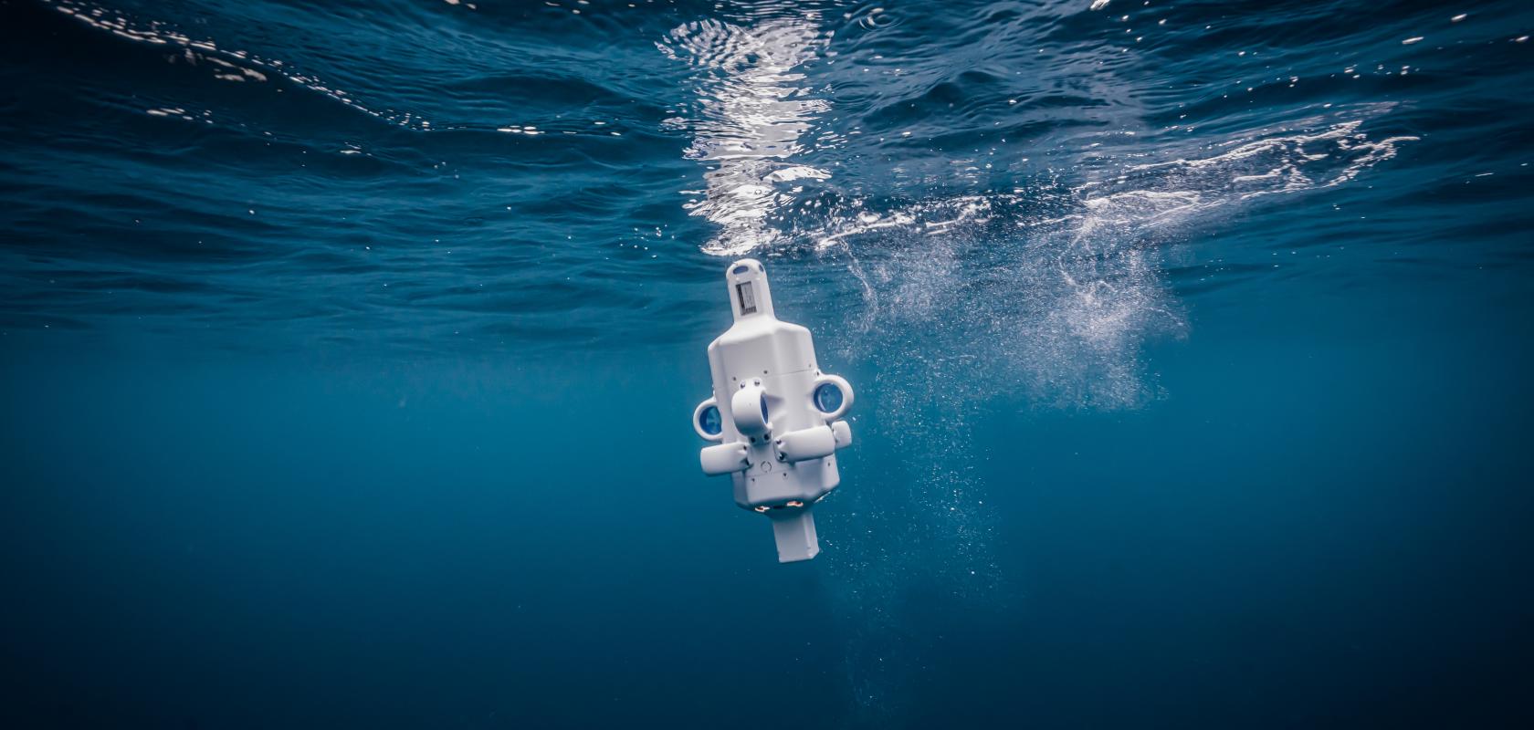
Hydrus AUV entering the water (Image: Advanced Navigation)
Severe coral loss exposed off the coast of Australia using high-res imaging to map the impact of climate change on cold-water reefs
Register for FREE to keep reading
Join 10,000+ vision professionals driving innovation in automation, AI and imaging with:
- Expert insights on vision, robotics, AI & embedded tech
- Newsletters and features covering the full imaging landscape
- Visionaries series: leadership strategies in imaging
- Free panels on smart manufacturing & autonomy
- White Papers & updates for smarter integration
Sign up now
Already a member? Log in here
Your data is protected under our privacy policy.