Skip to main content
Social media links IMVE
LinkedIn
Twitter
Log in
Register
Applications
3D
AI/ Deep learning
Embedded
Hyperspectral
Robotics
Thermal & Infrared
Components
Cabling
Cameras
Illumination
Image processing
Optics
Sensors
Software
Industries
Agriculture & Food
Life Sciences
Logistics
Manufacturing
Security & Defence
Sports & Entertainment
Traffic & Transport
Visionaries
Resources
Buyers' Guide / Suppliers
Events
Products
Webcasts
White papers
Search
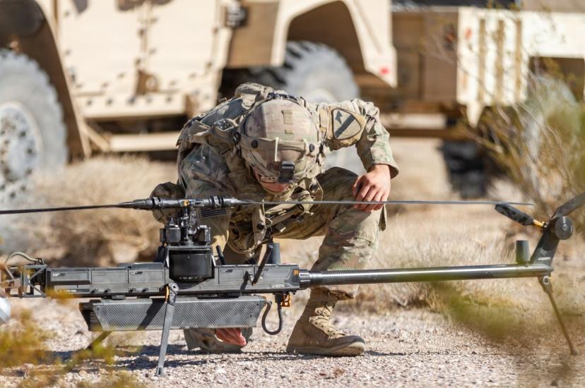
US Army selects Anduril’s computer vision-based Lattice platform for counter-UAS
ISI’s Knight combines SWIR with onboard AI
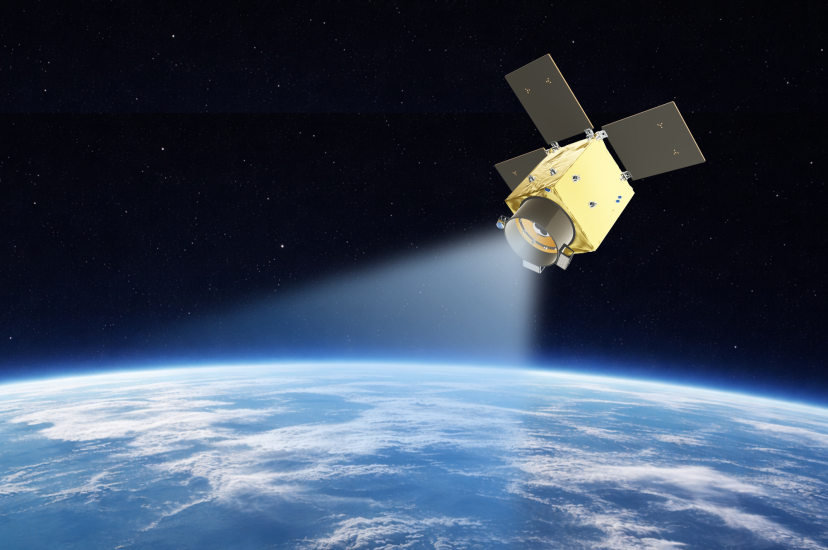
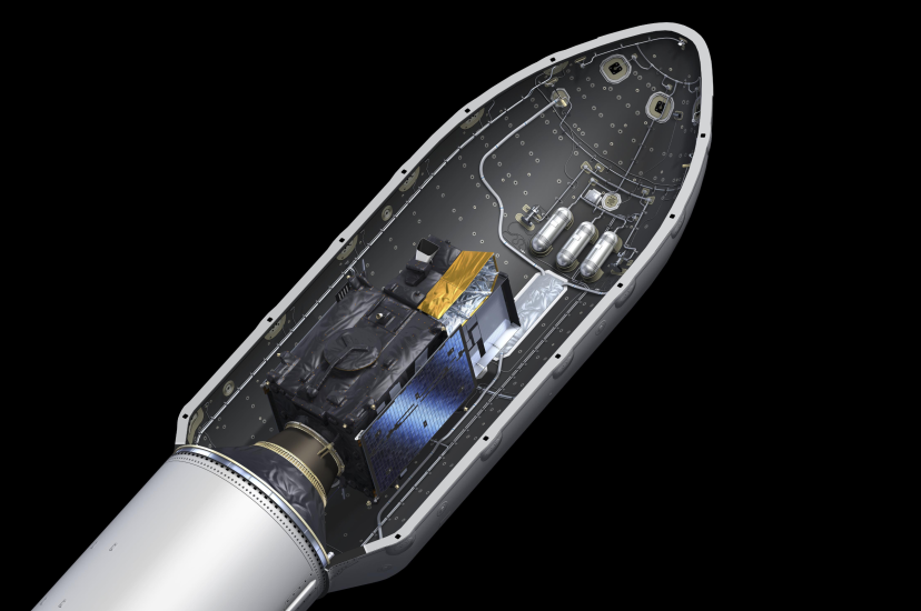
Sidus Space and Simera Sense partner on AI-based satellite hyperspectral imaging
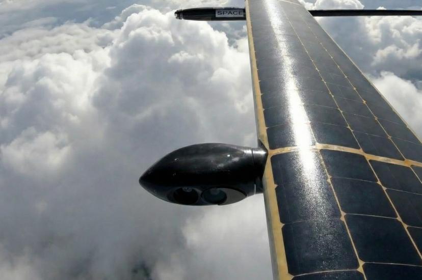
Gyrostabilised electro-optical and infrared imagery captured at 15,000m by UAVOS
Sentinel 5A returns first gas maps of Earth from advanced imaging spectrometer
XRISM space imaging mission uses spectroscopy to uncover mysteries of cosmic winds
Project sets out to improve defect detection in aircraft surface inspection
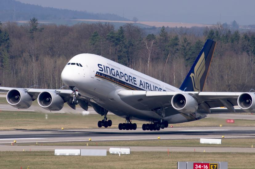
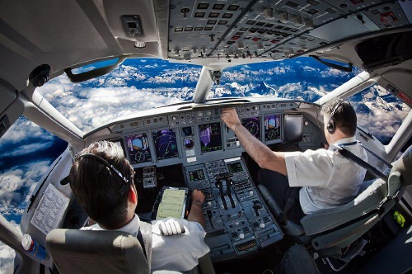
Machine vision cockpit monitoring gains traction after Air India crash
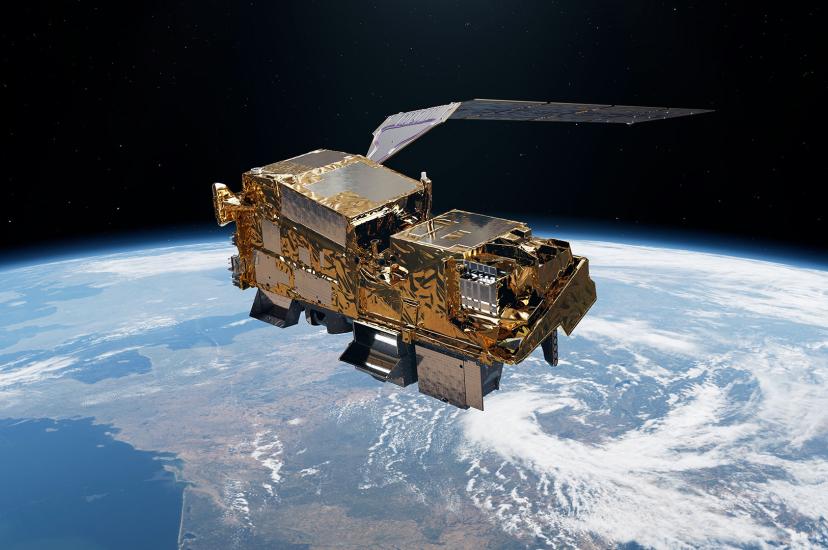
ESA launches MTG satellite with UVN spectrometer to collect air pollution data from space
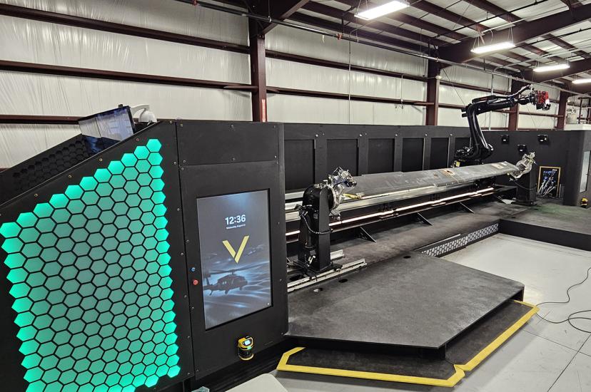
Patented VISION robot inspects aircraft parts using imaging, AI and automation
Pagination
Page 1
Next page
››
Media Partners