High-performance sensors are being used to map the environment following a collaboration between Headwall Photonics and the University of Tasmania's TerraLuma project.
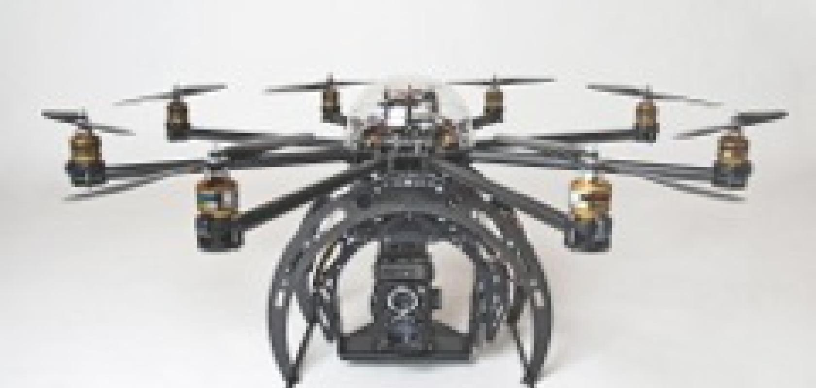
The partnership is bringing hyperspectral technology to the TerraLuma Project's fleet of unmanned aircraft systems. Because the richness of imagery data collected via hyperspectral sensing exceeds that of other methods, TerraLuma is putting Headwall's Micro-Hyperspec sensor aboard its multi-rotor SkyJib airframe from New Zealand's Droidworx.
The sensor has been chosen because it meets the payload restrictions of small airborne systems while providing the spatial and spectral resolution needed to 'map' the environment in great detail.
SkyJib is a purpose-built aerial platform, which the TerraLuma team has adapted to carry scientific instruments such as the Micro-Hyperspec. Precision agriculture, mapping and monitoring vegetation in remote locations represent some areas of research made possible.
'Environmental remote sensing and aerial surveying represent the kind of groundbreaking work we're known for,' said Dr Arko Lucieer, team leader for the TerraLuma Research Group. 'Our move to hyperspectral technology fits with our goal to provide the research community with clear, actionable data that can be captured, managed and delivered faster than ever.'
David Bannon, CEO of Headwall, remarked on the work of Dr Lucieer and the TerraLuma team is carrying out: 'Remote sensing utilising hyperspectral instruments aboard hand-launched platforms represents a high-growth area of research. We're very proud to be working with Dr. Lucieer and play a key role as TerraLuma undertakes aerial mapping with our sensors.'